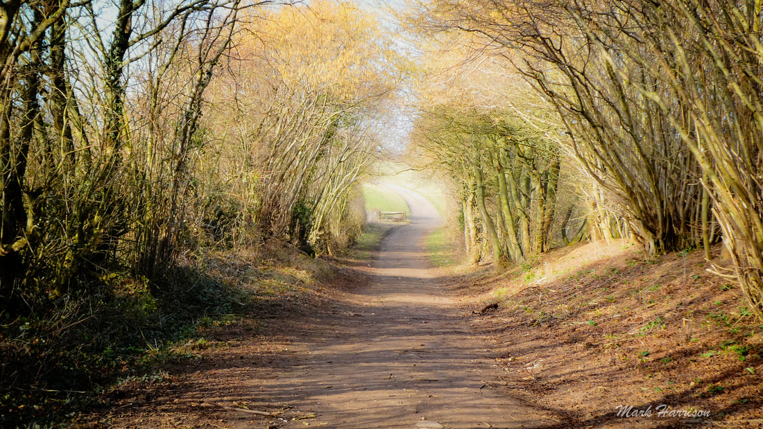
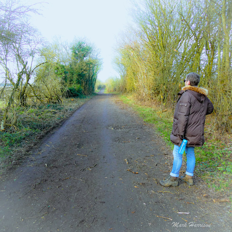
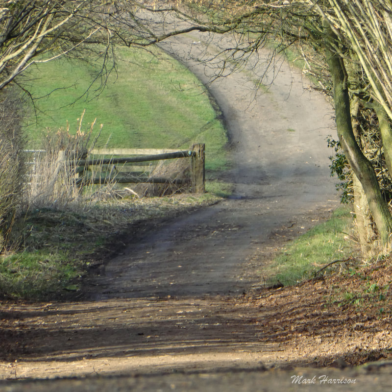
 Above: One of the magical scenes on Puddleduck Lane beckons travellers on the path to Coleshill. No matter how often one traverses the rural part of this route, as long as the environment is respected (and it is) it never ceases to give. We've walked it, cycled it, and no doubt many have ridden it on horseback, and always emerge feeling reinvigorated. Of course, Coleshill being an approximately four-and-a-half mile walk from Faringdon, it is always good to know that the Carpenters Canteen is at the other end (or half-way mark if you intend to walk back afterwards). This lively café serves delicious wholesome food, coffee and sundry other soft drinks (and don't forget the cake)[1]. Just be sure, before setting off, that you've checked the web entry (and perhaps also phoned) to ensure the café is open. It can be busy at popular times, too, so be prepared to wait. Or, if you're the impatient sort, nip across to the Radnor Arms[2]. Deciding on your route There are probably infinite options for getting there but there are essentially three basic ones. As I favour Active Travel[3], I'll allow myself a mild rant while laying out the options:
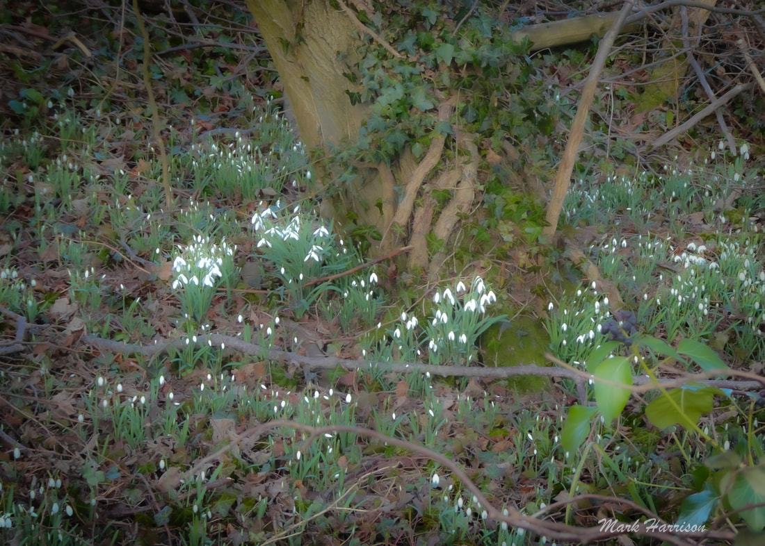
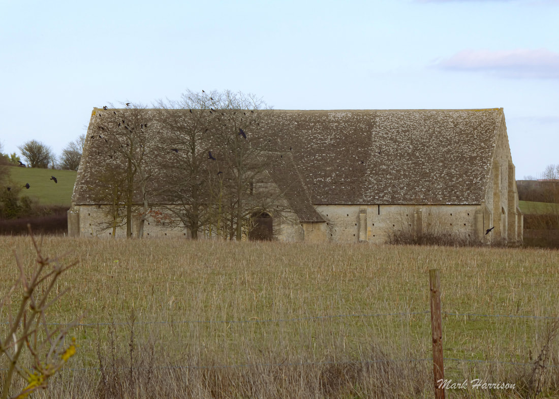
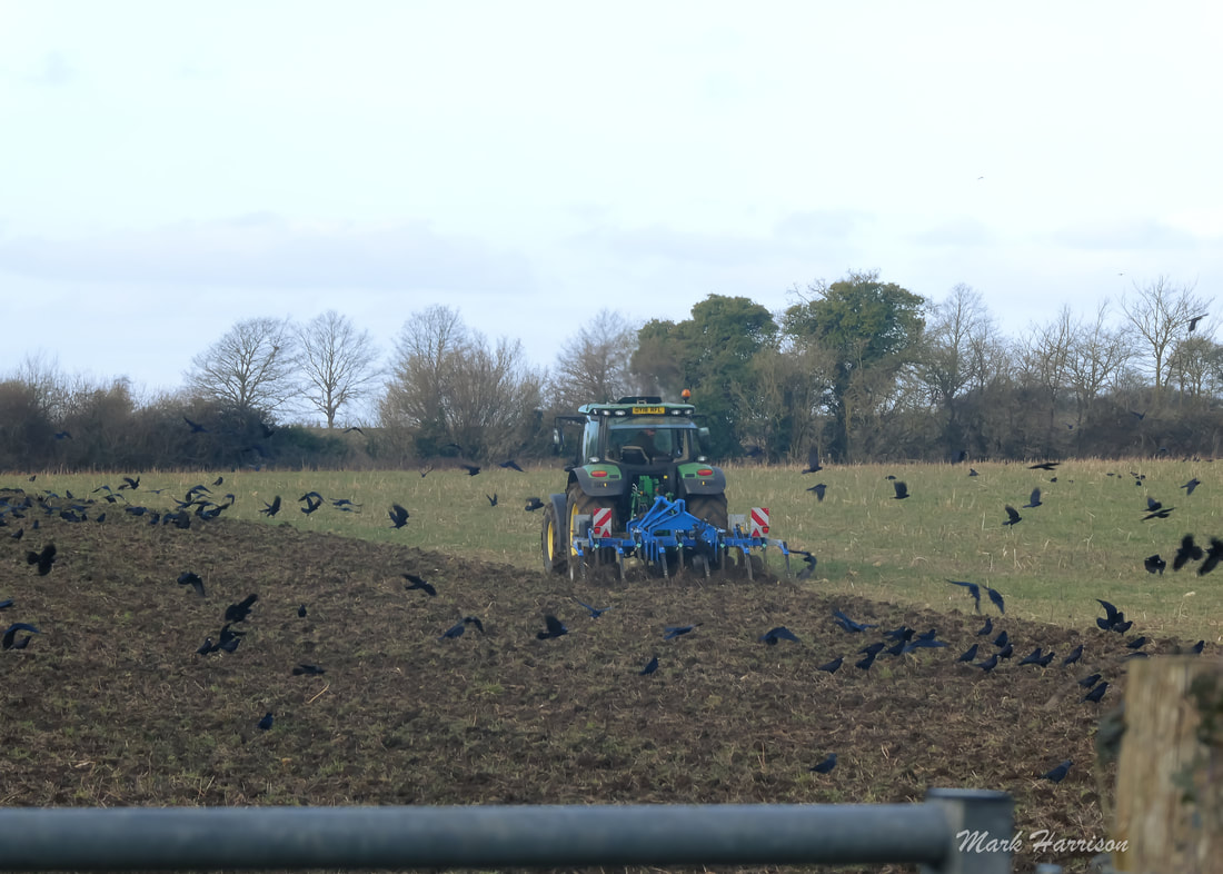
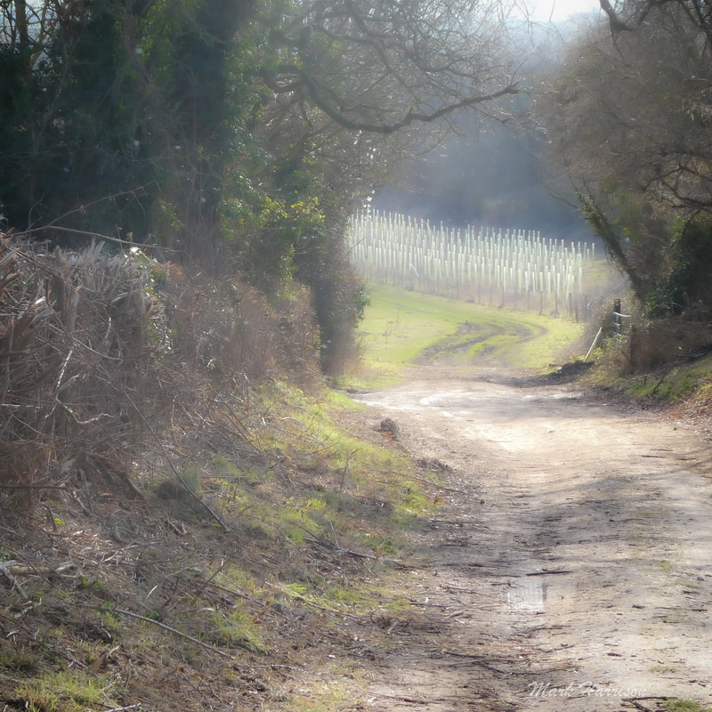
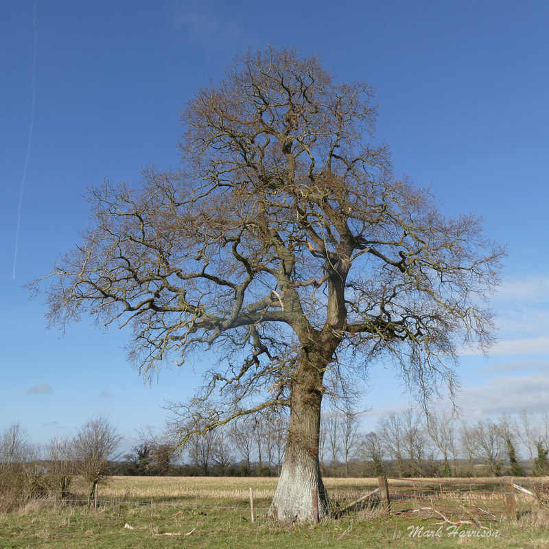
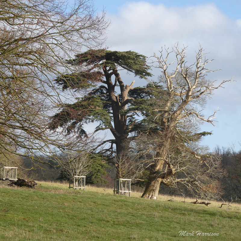
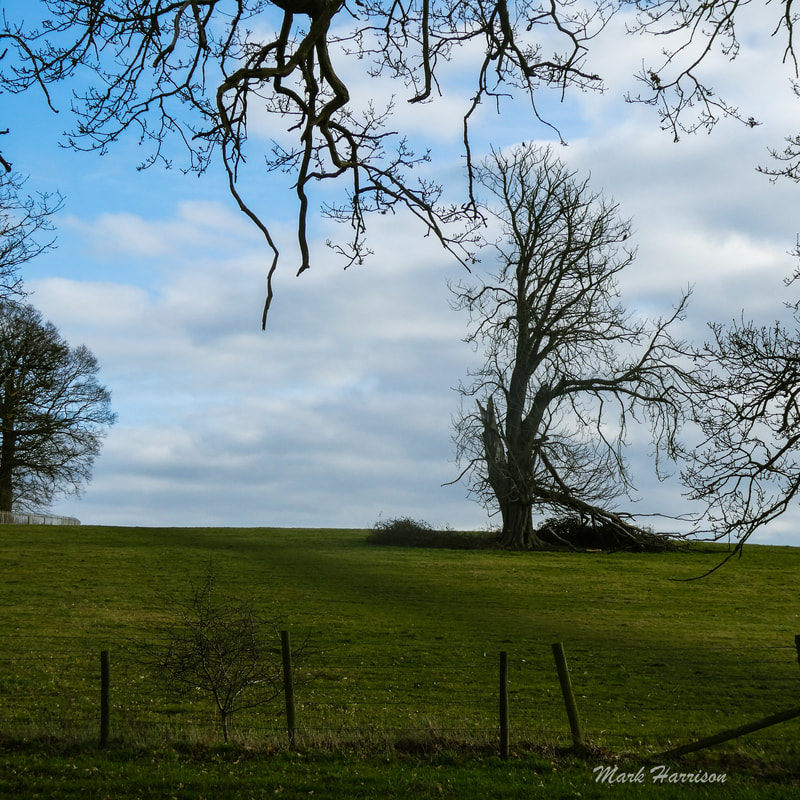
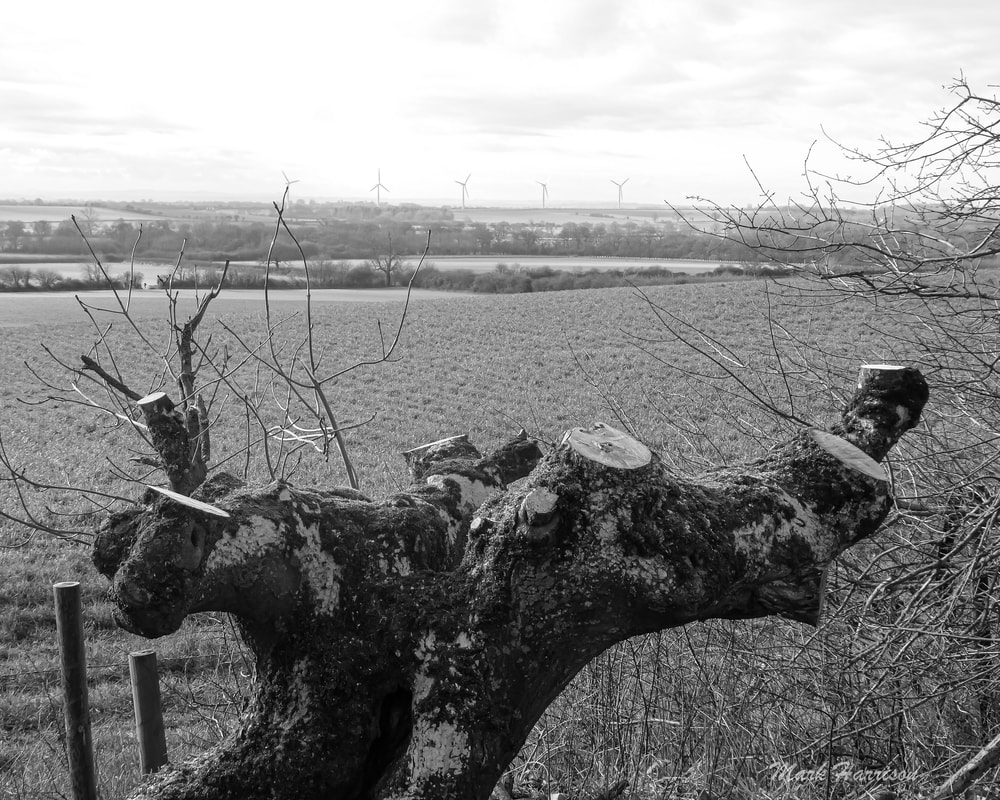
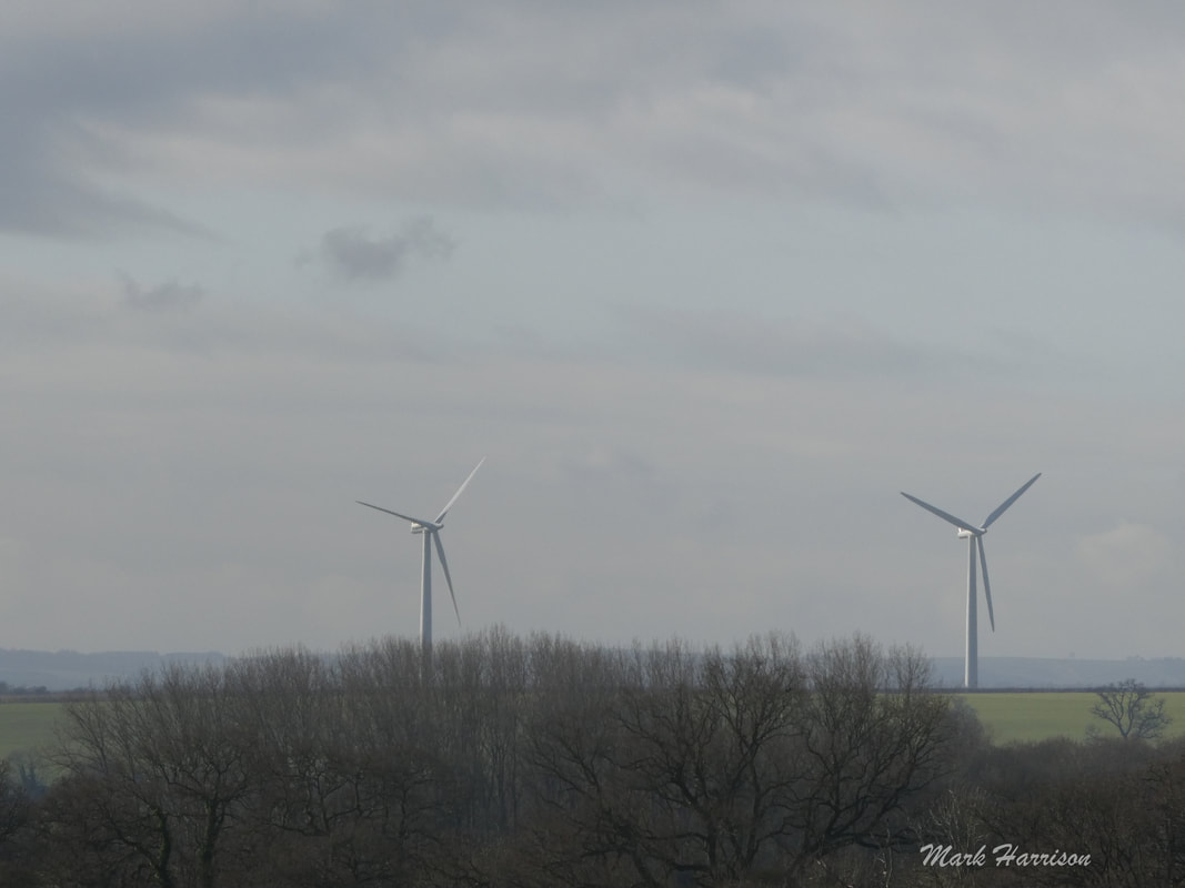
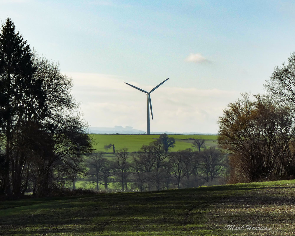
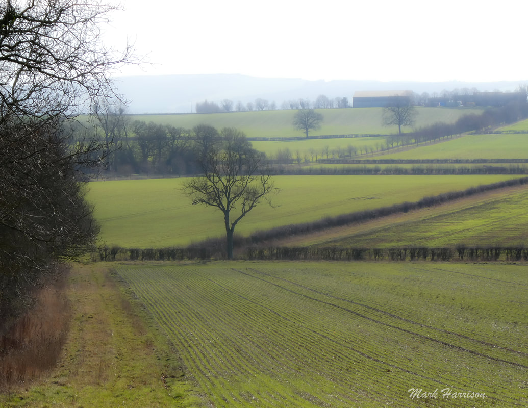
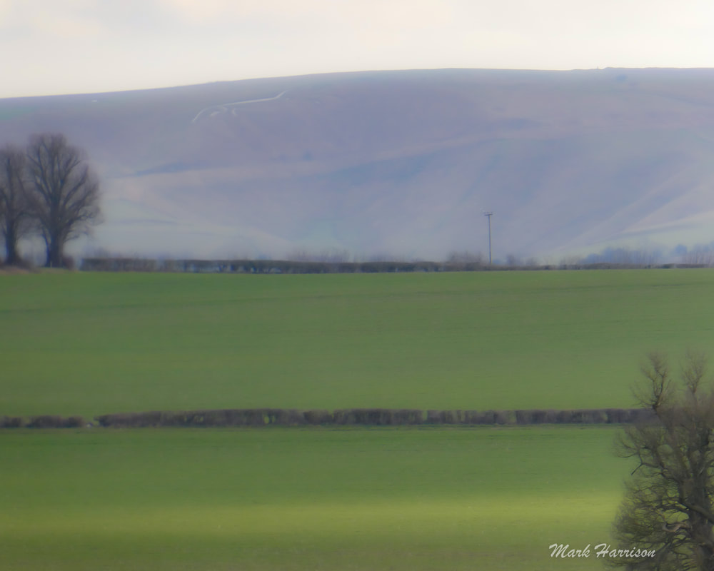
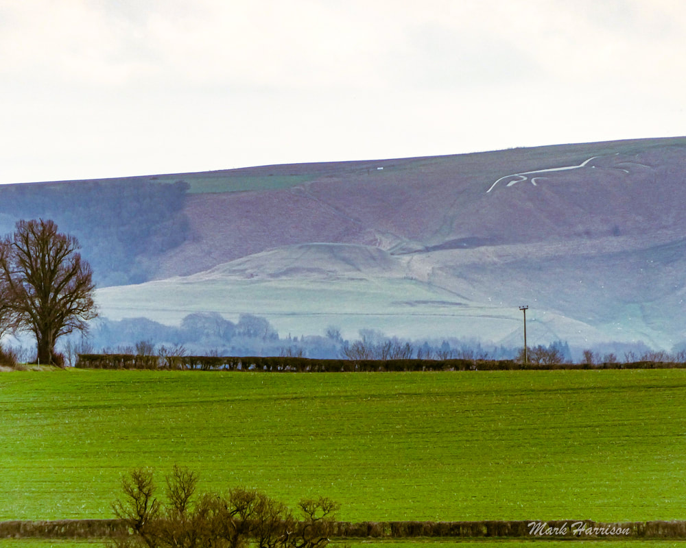
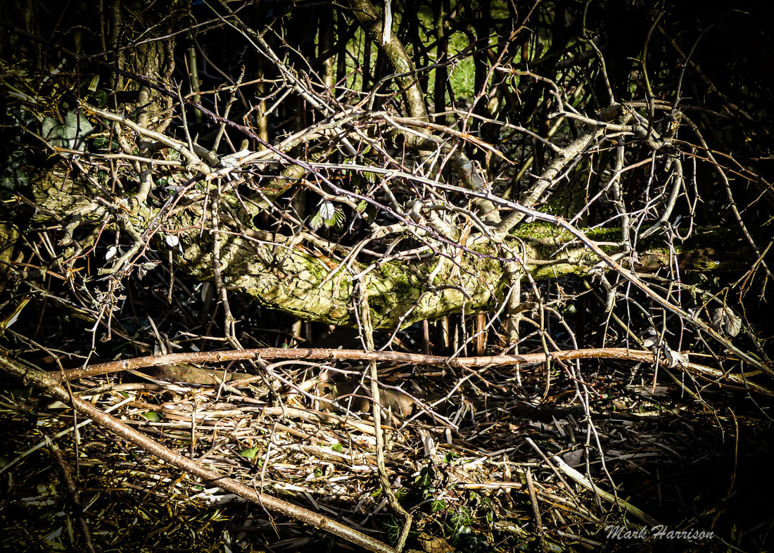
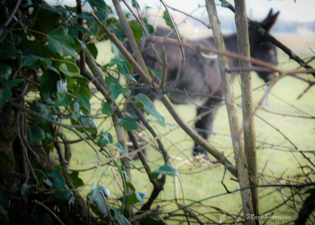
We chose #3 On this day Shelley-ann (Shan) and I set out to walk from Faringdon to Coleshill for lunch. The weather was sublime. Honestly, this route gives; even blizzards add their own dimension. Above, l to r: going the long way around; where seasonal snowdrops abound; a tyhe barn with brooding looks; and tractors play host to rooks. Our route took us South of the B4019 and as walkers we had a footpath along the road to Great Coxwell. We are always struck by the soft light at this time of year Everywhere should have a Puddleduck Lane. Above, l to r: Shan viewing the road ahead; through the tunnels the way led; this last needing a light tread. The Puddleduck section of this route has recently been acquired by Andy Cato, Wildfarmed[5] co-founder, who is "an award-winning mixed arable and livestock farmer. Once a successful Grammy nominated musician, Andy gave that up after reading about the dire state of modern food production. He went on to spend over a decade trying to find a more restorative and sustainable way of growing food." It would be good to think that, one day, we could bump into him and hear more of that vision and plans for the future of the area. Local myth has it that a massive tree planting operation is under way. We'd love to hear more about this having always admired the woods surrounding the Coleshill Parkland. There is certainly substantial evidence of recent tree "husbandry" along this route. Trees Above; Don't'cha just love them? The first one is an icon of Puddleduck and the others are landmarks of the Coleshill Parkland, always needing attention. Long may it continue. Landscape There is a kind of lumpy ridge that connects Faringdon with Coleshill so that most of the time, whether one walks to the North or the South of the B4019, there are magnificent views to be had. To the North there are the Cotswolds and to the South the Berkshire Downs. For most of our walk on the Southern side we could enjoy these stately views. Some might (or indeed do) argue that the wind turbines on a smaller ridge between our walking path and the Downs are an eyesore. I completely disagree. They are simply elegant. They are part of Westmill Farm which had recent connections to Colleymore. Maybe they still have ... Looking further towards the ridge in the background, the lifting haze and deployment of my monster zoom in a small package reveal the prehistoric Uffington White Horse that gives its name to the Vale in between us and to a hearty ale produced in Stanford (in-the-Vale). Above: (top row) the turbines appear closer and closer in all their grandeur; (bottom row) and there is a white horse beyond. Old ways After a sumptuous sandwich each from the Coleshill Canteen, Shan wisely hitched a ride back to Faringdon with friends. I felt the need to drag my aging body back to Faringdon for the exercise. I won't say I regretted it but there was a pair of happy legs that were finally rested with a little over 9 miles under my belt. One of the aspects of farming that has intrigued me in recent years has been hedge laying. A brilliant, if labour intensive, solution to keeping larger animals in their fields with all the green credentials in the world. Most hedges have long since been slashed over winter by tractor-mounted trimmers, removing their potential for restraining the odd bull, sheep or even donkey. There seems to have been a bit of a laying revival in recent years but the uptake is slow - maybe someone will find a labour-saving way to do it. It will surely be welcome by cyclists. The slashings of hawthorn strewn across country roads are a menace to tyres. Above l to r: low-lying branches are evidence of early laying; barbed wire now to keep donkeys staying and braying.
Coming next More routes, perhaps? Endnotes:
4 Comments
Dave Headey
19/2/2023 08:19:05 pm
One tree planting scheme that certainly isn't "mythical" you can see if you turn left off Puddleduck Lane at the donkey sanctuary. After about a quarter of mile you'll find a huge new plantation which will join the long copse to your right with Buryhill Copse on your left,
Thanks Dave. I wasn’t doubting the tree planting going on. I’ve seen it with my own eyes. I would be interested to hear from the respective farmers and tenants themselves whether the planting crosses between farms as it seems to do and thank the individuals for their splendid work.
Pete King
20/2/2023 05:44:39 pm
Tree planting no myth. I’ve personally planted thousands over winter with the National Trust, being a volunteer countryside ranger on the Estate. Leave a Reply. |
AuthorAn avid cyclist and walker campaigning for access to all essential amenities within 15 minutes without a car or van Archives
May 2023
Categories |

 RSS Feed